


Product Details
+
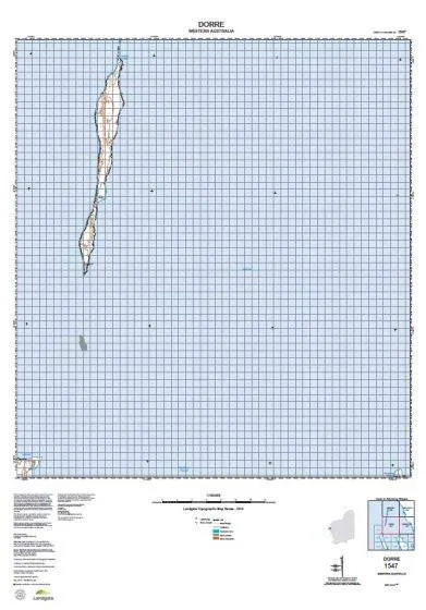
The WA Topo 100 series covers selected state wide areas at 1:100,000 scale where the level of feature density requires 1:100,000 scale mapping. Each sheet covers an approximate area of 30' longitude and 30' latitude which corresponds to approximately 50km by 50km at 20 metre contour intervals.
These maps show all natural features on the ground as well as developed features including roads, powerlines, urban areas, parks and plantations.
- Coverage: selected Statewide areas
- Scale: 1:100 000
- Currency: 2014
- Coordinates: MGA
- Datum: GDA94
- Projection: UTM
- Size: 810mm x 600mm
These maps are printed on demand at the chart and map shop - so they are always in stock and always available.


 Class Ii Fda")

